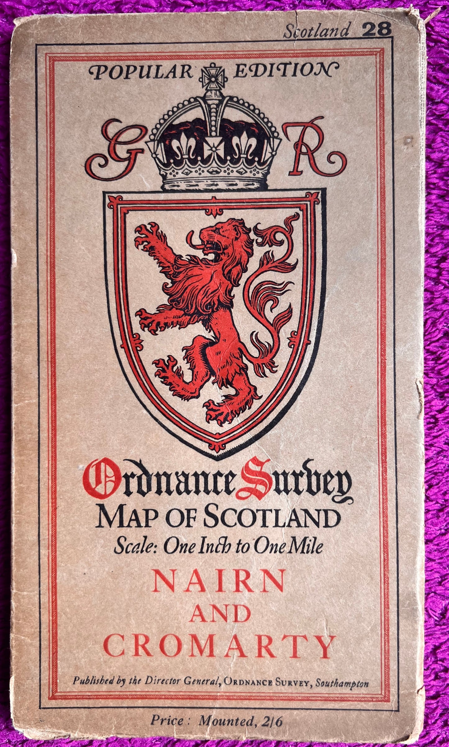
1920s Ordnance Survey Map of Nairn, Cromarty, Forres and Burghead
1920s Ordnance Survey Map of Nairn, Cromarty, Forres and Burghead
Regular price
£6.50
Regular price
Sale price
£6.50
Unit price
per
Tax included.
Shipping calculated at checkout.
Couldn't load pickup availability
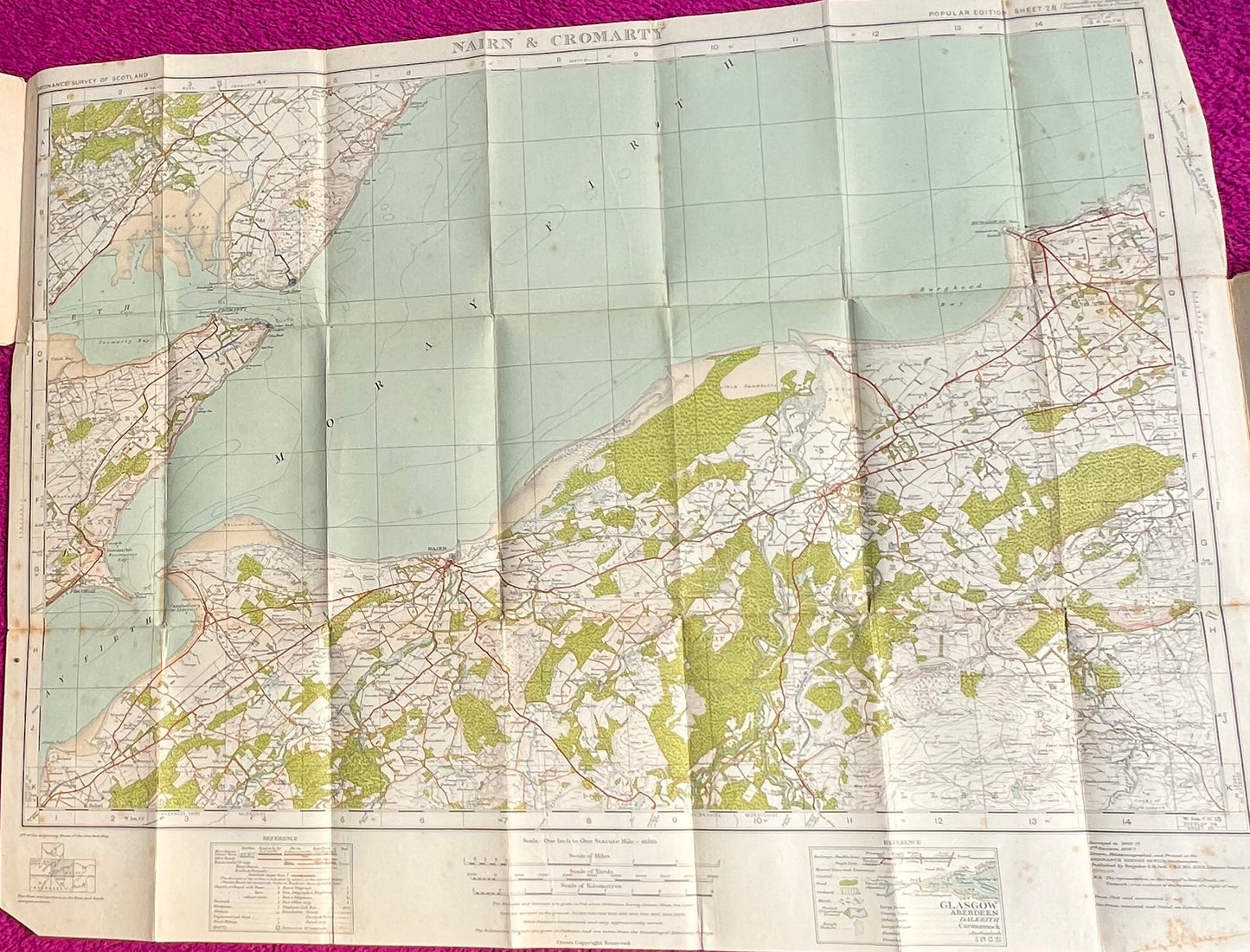
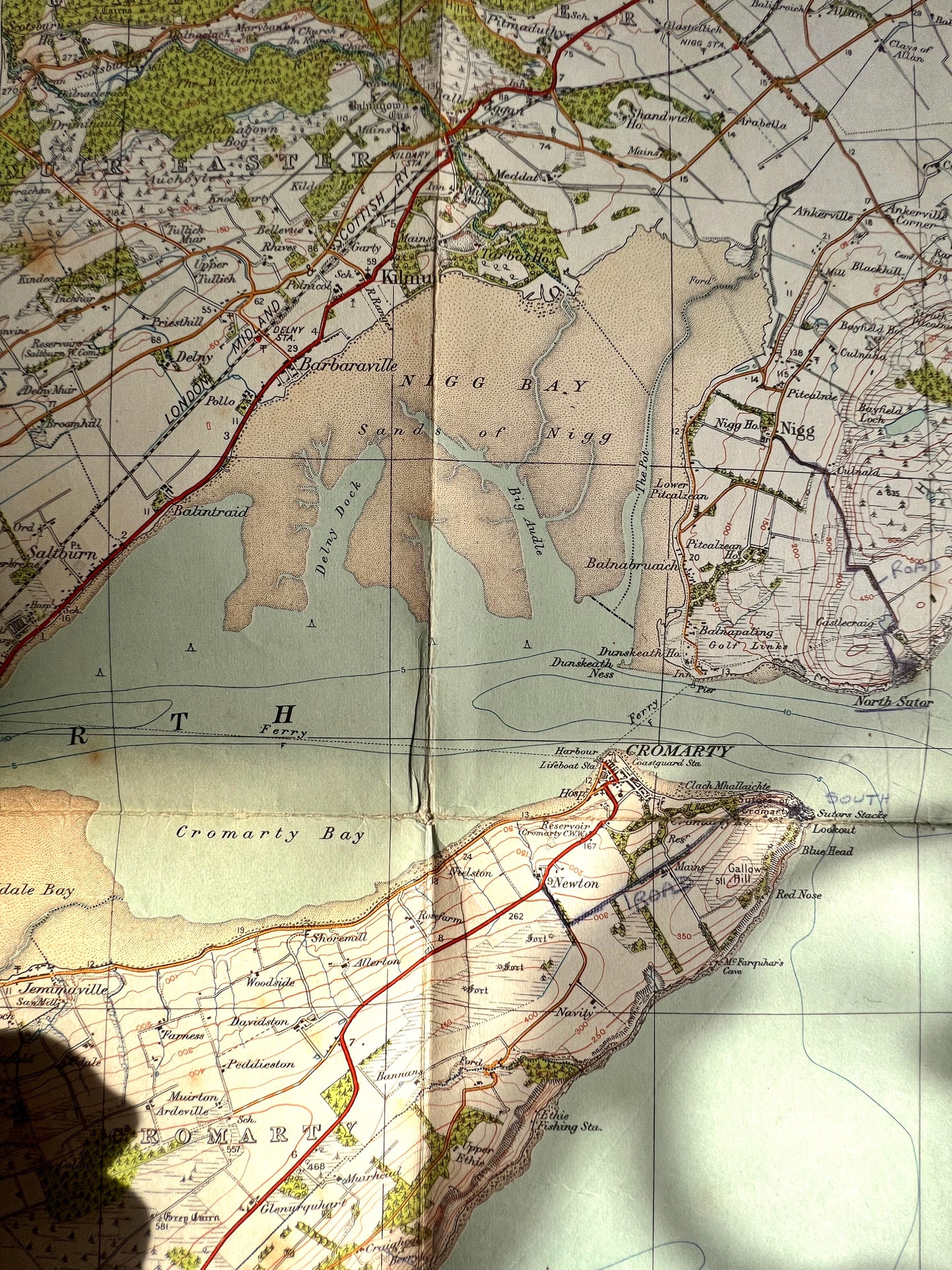
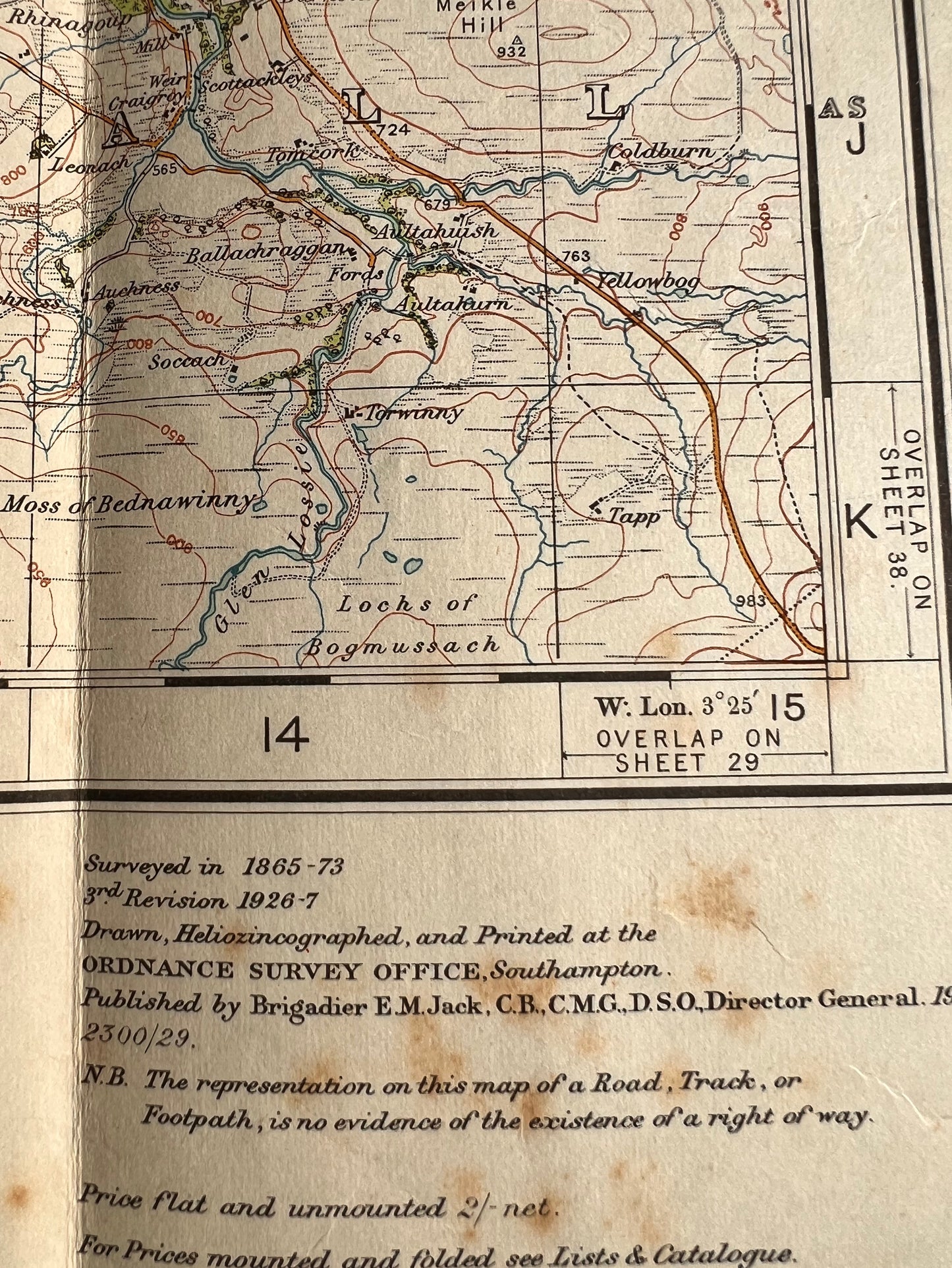
Sheet 28, One Inch to One Mile Ordnance Survey Map of Nairn and Cromarty
Colour printed cloth backed in good condition inside, slightly worn on the folds and a little bit of foxing.
Also includes, Forres, Findhorn, Burghead all helpfully served by a long gone railway line !
Surveyed in 1865 - 73.
Published in 1927
Original price 2/6
Please look at the photos for the area and fascinating details this map covers